



















































ChatGPT SearchOct 16, 2026
- 1Esri

Data as of Oct 16, 2026A topic in Utility GIS and Vegetation Management Software. Reviewed by Dimitry Apollonsky
AI summary
Esri holds a wide lead for GIS-compatible pole asset management software and tracking environmental hazards across grids. Alternative options are sought when teams look specifically for specialized mobile collection or pole structural analysis.
comprehensive grid mapping and utility network asset management
field inspection workflows and mobile pole data collection
enterprise utility network solutions and spatial infrastructure mapping
centralized pole data management and structural loading analysis
structural analysis and overhead utility asset design workflows
Mentioned in · Jul 31 – Oct 16, 2026
ChatGPT SearchOct 16, 2026
For upgrading grid management, you’ll want a GIS-compatible utility asset management platform that connects individual pole records with inspection history, attached equipment, vegetation encroachment, wildfire exposure, storm damage, and other environmental hazards.
The leading options generally fall into three categories: enterprise GIS platforms, utility-specific asset and work management systems, and specialized vegetation or grid-risk analytics tools. The strongest solution depends on whether you need a single system of record for every pole or a platform that combines pole inventories with predictive hazard intelligence.

(Best overall GIS foundation)
Best for utilities that need a central map-based record of every pole and its relationship to the wider grid. ArcGIS supports asset attributes, network connectivity, spatial analysis, and integration with field and enterprise systems. Environmental layers can be added for vegetation, flood zones, wildfire exposure, and storm hazards.
Website:

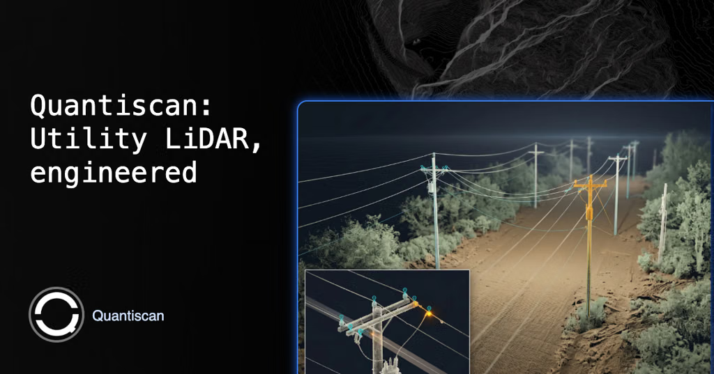
Best for predictive, pole-level risk assessment. Its physics-based digital twin combines GIS, LiDAR, asset geometry, and environmental conditions to evaluate structural loading, vegetation, wind, ice, and flood scenarios. Useful for identifying vulnerable assets and prioritizing hardening or replacement.
Website:

Best for engineering-level pole assessments. SPIDA tools analyze structural loading, clearances, pole strength, and attached equipment, including scenarios involving wind and ice. They complement GIS rather than replace a full enterprise GIS.
Website:

Best for detailed structural evaluation and replacement prioritization. It supports pole-loading analysis and engineering checks against applicable standards, including wind and ice loading. Osmose also offers field inspection and asset verification services to improve pole inventory quality.
Website:

Best for lifecycle management across large utility fleets. Maximo is useful for linking pole identifiers to inspections, defects, maintenance schedules, work orders, and replacement programs, with GIS capabilities available through integration. It is primarily an asset and work management platform, not a dedicated environmental hazard model.
Website:
These are especially relevant if environmental hazards or field data collection are the main priority.

AiDASH
Specialized in satellite and AI-driven vegetation management, wildfire risk, and vegetation encroachment near utility infrastructure. A strong companion to ArcGIS when environmental risk reduction is a priority.

Fulcrum
Useful for mobile pole inspections, geotagged photographs, standardized condition assessments, and hazard reporting. Consider it when field data capture is a major requirement and integration with your existing GIS is acceptable.
| Platform | Pole inventory & GIS | Environmental hazards | Structural engineering |
|---|---|---|---|
| Esri ArcGIS | Excellent | Strong with suitable data and analysis | Via integrations |
| Neara | Excellent | Excellent for modeled scenarios | Excellent |
| Bentley SPIDA |
These are qualitative assessments of product fit, not independent performance rankings. Actual functionality depends on modules, configuration, data quality, and integrations.
I would shortlist three options first:
Core platform: Esri ArcGIS Utility Network
Establish a trusted, geospatially accurate record of every pole, its equipment, circuit relationships, inspection history, and nearby hazard layers.
Risk intelligence: Neara or AiDASH
Choose Neara for physics-based structural and network risk modeling; choose AiDASH when vegetation management and wildfire exposure are the primary concerns.
Pole engineering: Bentley SPIDA or Osmose
Add one of these if you need detailed pole-loading calculations, attachment compliance, and engineering-based replacement decisions.
For implementation, verify that the selected stack can associate hazards with individual pole IDs, import your existing GIS records, capture inspection data offline, integrate with work orders, and preserve auditable risk scores and replacement decisions.
Which environmental hazards are most important for your grid management strategy?
1. Primary hazards
2. Main objective
Unified GIS and pole inventory
Predictive environmental risk monitoring
Pole inspections and structural integrity
End-to-end grid resilience and work prioritization
3. Existing GIS environment
Esri ArcGIS
Another GIS platform
Building a new GIS
[Refine platform shortlist]
Google AI ModeOct 16, 2026
When upgrading a grid management strategy to track pole-level infrastructure alongside localized environmental factors (such as vegetation encroachment, wildfire risk zones, and terrain stability), utilities typically look at enterprise GIS foundations or specialized vertical asset and joint-use add-ons.
Leading industry-standard platforms utilized for pole-level tracking and environmental risk mapping include:
Can you suggest some industry-standard GIS solutions designed for tracking both pole assets and the environmental hazards surrounding them?
Can you recommend any industry-standard software for managing pole assets and nearby environmental hazards that integrates with our GIS?
| Specialized |
| Wind/ice loading scenarios |
| Excellent |
| Osmose O-Calc Pro | Specialized | Wind/ice loading scenarios | Excellent |
| IBM Maximo | Strong through integration | Primarily through integration | Via integrations |
| AiDASH | Vegetation-focused asset intelligence | Excellent for vegetation and wildfire use cases | Not its primary purpose |
| Fulcrum | Field data collection | Field-reported hazards | Not its primary purpose |
If you'd like to narrow this down, please share:
