Loading…

Data as of Oct 18, 2026Based on 329 AI responses Reviewed by Dimitry Apollonsky
AI summary
DroneDeploy and Pix4D are neck and neck across commercial drone workflows, with DroneDeploy favored for automated flight planning and Pix4D for precise photogrammetry. For counter-drone security, however, Dedrone is the usual answer.
Rank and Mentioned in · since Jul 5
| # | Brand | Recommended for | Mentioned in |
|---|---|---|---|
| 1 | detailed photogrammetry processing and high-accuracy 3D modeling | detailed photogrammetry processing and high-accuracy 3D modeling | 20% |
| 2 | automated flight planning, stockpile measurements, and cloud mapping | automated flight planning, stockpile measurements, and cloud mapping | 20% |
| 3 | enterprise drone platforms and native mapping software tools | enterprise drone platforms and native mapping software tools | 12% |
| 4 | photogrammetry software integrations for automated mapping pipelines | photogrammetry software integrations for automated mapping pipelines | 11% |
| 5 | autonomous navigation and close-proximity utility asset inspections | autonomous navigation and close-proximity utility asset inspections | 10% |
| 6 | turnkey pilot networks for infrastructure and volumetric surveys | turnkey pilot networks for infrastructure and volumetric surveys | 10% |
| 7 | nationwide flight services and real estate aerial imagery | nationwide flight services and real estate aerial imagery | 9% |
| 8 | large-scale mapping projects needing high-precision enterprise hardware | large-scale mapping projects needing high-precision enterprise hardware | 9% |
| 9 | nationwide real estate photography and solar array inspections | nationwide real estate photography and solar array inspections | 8% |
| 10 | 8% | ||
| 11 | a pilot marketplace featuring competitive local bidding networks | a pilot marketplace featuring competitive local bidding networks | 8% |
| 12 | 7% | ||
| 13 | 7% | ||
| 14 | 6% | ||
| 15 | 6% |
What’s changing · since July
Since July, Wingtrarising has become a regular recommendation for buyers integrating drones with photogrammetry software.
Week of Sep 21–27 · Since Jul 5
Rankings by topic:
Widest split: DroneDeploy, 16% on ChatGPT Search and 24% on Google AI Mode.
| Brand | ChatGPT Search | Google AI Mode | Comparison |
|---|---|---|---|
| Pix4D | 17% | 24% | |
| DroneDeploy | 16% | 24% | |
| DJI | 10% | 14% | |
| Agisoft | 11% | 10% | |
| Skydio | 12% | 9% | |
| FlyGuys | Outside ChatGPT Search's top 25 | 19% | |
| Zeitview | 13% | Outside Google AI Mode's top 25 | |
| DJI Matrice 350 RTK | 6% | 11% | |
| dronegenuity | Outside ChatGPT Search's top 25 | 14% | |
| Propeller Aero | Outside ChatGPT Search's top 25 | 15% |
39% of citations point at the ranked brands’ own sites. youtube.com, advexure.com, globaldronehq.com are the most-cited sites outside the ranked brands’ own domains.
Our facility management team needs to inspect rooftops for thermal leaks and structural damage. Which drone service providers specialize in commercial roof thermal imaging and reporting?
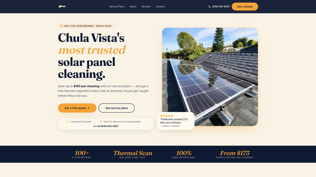
Our solar panels are producing less energy than expected. Who offers thermal imaging inspections for solar arrays?
I need a drone that integrates with photogrammetry software for automated mapping missions.
I want to use drones to survey our stockpiles. What is the best drone-based stockpile volume measurement service or software?
We need to inspect our transmission towers and lines. What is the best drone inspection service or platform for utility assets?
I am looking for a drone defense system that can detect and jam unauthorized UAVs.
I am looking for a "drone pilot" network for real estate aerial photography.