













Google AI ModeOct 11, 2026
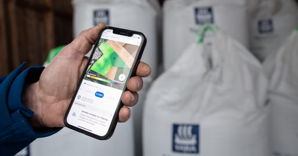
Atfarm (Yara) : Uses high-resolution satellite imagery from Sentinel-2 to track the biomass and nitrogen uptake of crops in real-time.

Data as of Oct 20, 2026Based on 14,752 AI responses Reviewed by Dimitry Apollonsky
<1%
across Atfarm’s markets · since Jul 5
The market map
Farm Management SoftwareMentioned in
Question: What tools can I use in Europe to forecast optimal harvest windows based on seasonal weather data and crop growth tracking?
Google AI ModeOct 11, 2026
Atfarm (Yara) : Uses high-resolution satellite imagery from Sentinel-2 to track the biomass and nitrogen uptake of crops in real-time.
Each engine’s share of its own answers across Atfarm’s markets · since Jul 5
Where Atfarm ranks in AI
Question: Which agriculture AI tools can lower input costs while increasing yield for commodity crops?
ChatGPT SearchJul 29, 2026
Atfarm – Uses satellite imagery and AI to generate variable-rate nitrogen application maps compatible with many equipment platforms.
at.farm 0%Other sites 100%
Excerpts where Atfarm appeared in the AI's answer
Atfarm – Uses satellite imagery and AI to generate variable-rate nitrogen application maps compatible with many equipment platforms.
